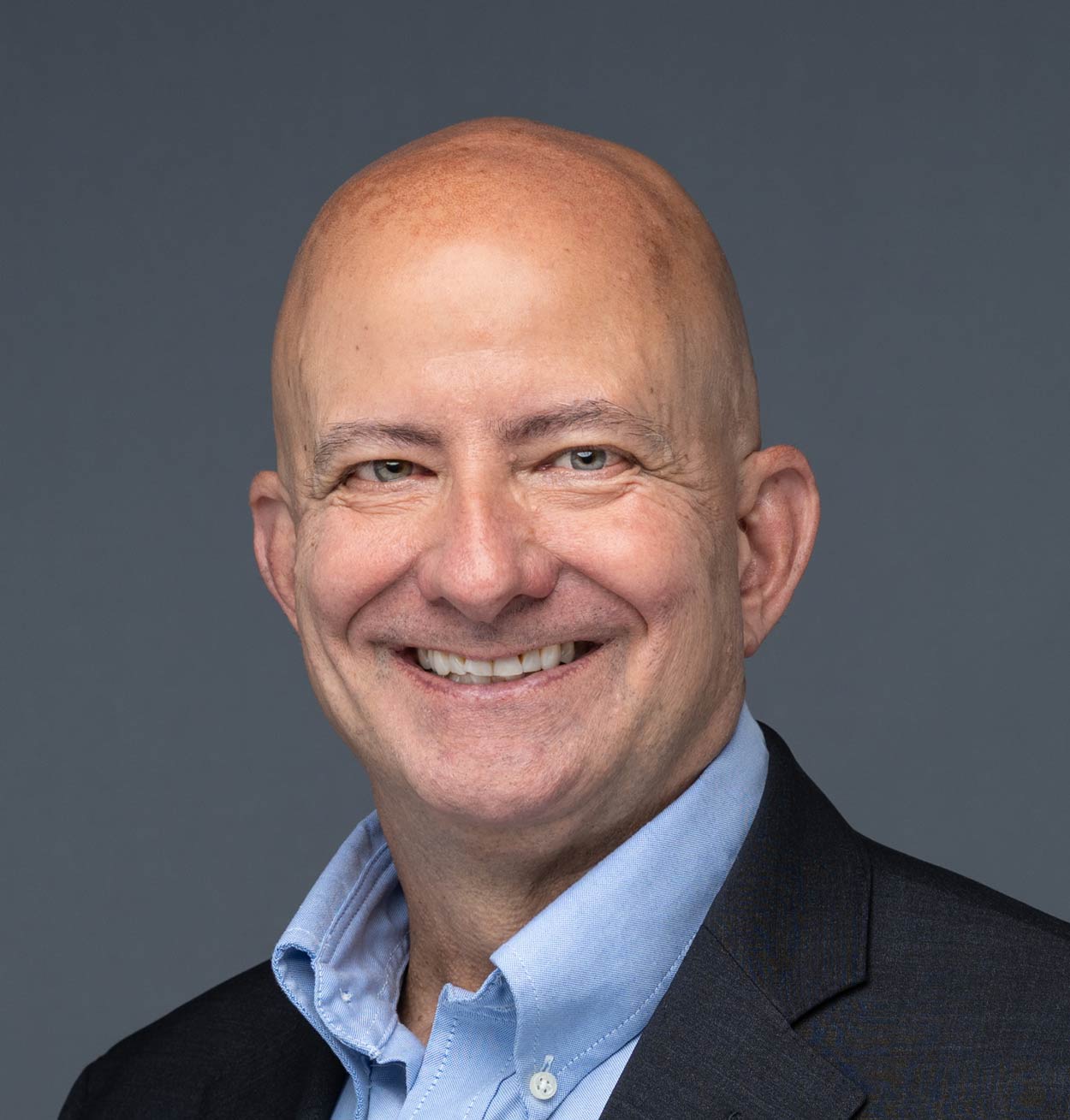
Director Reda Amer
Dr. Reda Amer is a highly accomplished researcher and professor in the field of Geospatial Sciences. He received his Bachelor's and master’s degrees in Geology and Remote Sensing from Al-Azhar University, Egypt, as well as a PhD in Geophysics and a Graduate Certificate in GIS and Remote Sensing from Saint Louis University.
Throughout his career, Dr. Amer has made significant contributions to the field of Geospatial Sciences, particularly in the application of Remote Sensing and GIS techniques to address a wide range of hydrological, geological, and environmental problems, including water resources, water quality, mineral resources, land use and land cover changes, urban flooding, sea-level rise, coastal land loss, coastal restorations, and resilience. He has authored numerous research papers and given presentations at national and international conferences.
In addition to his research achievements, Dr. Amer is a dedicated educator who has taught a wide range of courses at both the undergraduate and graduate levels. He has supervised many graduate students, many of whom have gone on to successful careers in academia and industry.
Currently, Dr. Amer is the Director of UMSL Geospatial Collaborative at the University of Missouri-St. Louis, where he continues to conduct groundbreaking research and inspire the next generation of Geospatial scientists.


VADM Robert Sharp
Former Director of the National Geospatial-Intelligence Agency
Vice Admiral Bob Sharp, USN (Ret.) served as the Director of the National Geospatial-Intelligence Agency, one of our nation’s premier intelligence agencies, from February 2019 until June 2022.
As Director, he and his team were responsible for delivering world-class geospatial intelligence to provide a decisive advantage to policy makers, military service members, intelligence professionals, first responders, and international partners. He was accountable for over 14,000 civilian, military and contractor employees working around the clock and globe in over 120 locations world-wide.
Bob served as a Naval Intelligence Officer for over 34 years, and as a leader within the Navy’s Information Warfare Community since its inception. He has decades of leadership experience in the Intelligence, Defense, and National Security arenas.
He is known for his extensive experience developing and motivating cohesive teams to solve complex problems in dynamic situations. He leveraged the global pandemic challenges as an opportunity to reimagine and improve business processes, helping his agency emerge stronger, more agile, and more human from the experience.
He holds a Bachelor of Arts from the University of the Pacific and a Master of Science degree in National Resource Strategy from the Industrial College of the Armed Forces.
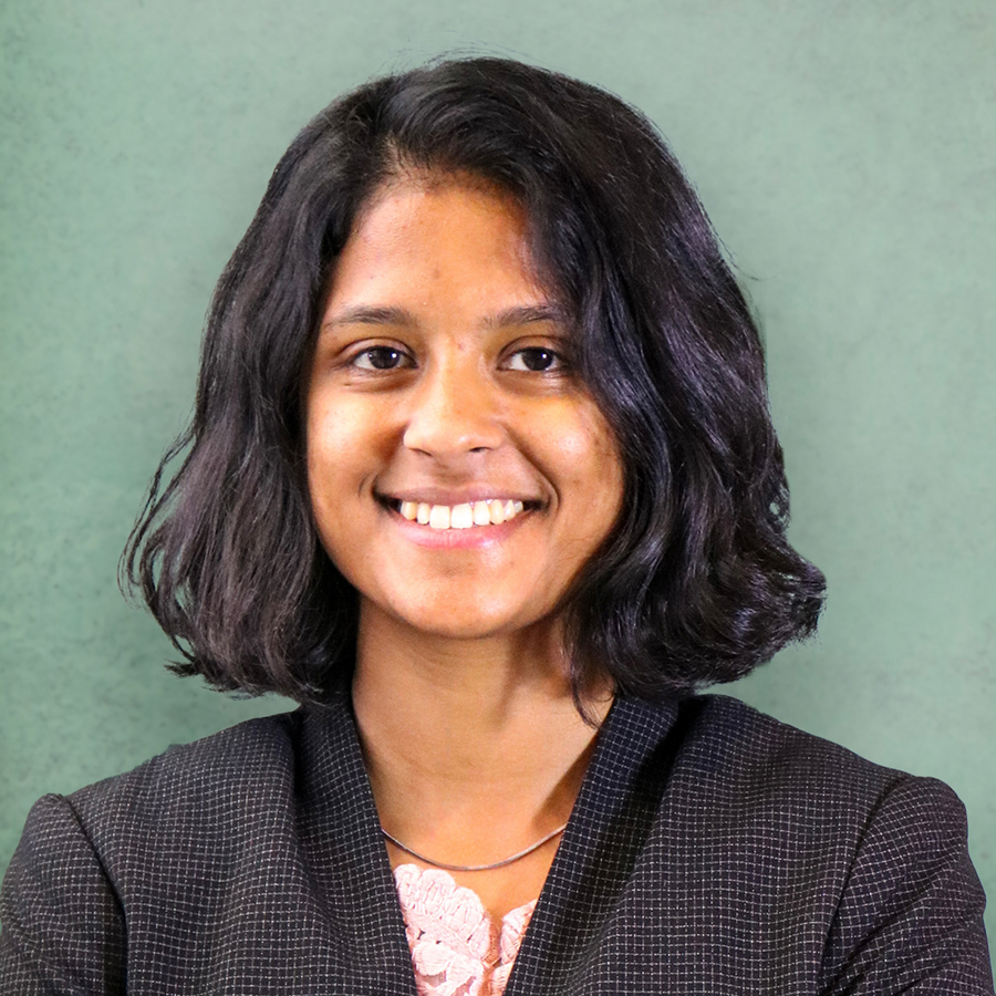
Gizelle Cota, Assistant Teaching Professor
Ms. Gizelle Cota holds a Master’s degree in Geographic Information Science (GIS) from Saint Louis University and a Bachelor’s degree in Geology from the University of Mumbai. Her graduate research focused on leveraging machine learning, remote sensing imagery, and GIS methodologies to address forest conservation challenges and analyze the impact of human geography on the Betampona Nature Reserve in Madagascar.
Ms. Cota has since built a varied career in the geospatial field through her expertise in GIS analysis and geospatial data science. As a GIS Analyst for the Saint Louis Development Corporation, she managed and maintained the organization’s geospatial datasets and developed interactive web applications to enhance public engagement and facilitate data accessibility for community stakeholders.
Subsequently, Ms. Cota served as a Geospatial Data Scientist at the Taylor Geospatial Institute at Saint Louis University, where she contributed to advanced geospatial research. In this role, she supported faculty projects by integrating geospatial data and methodologies, while also playing a key role in developing and maintaining comprehensive documentation for drone data collection and processing workflows.
Ms. Cota’s background in GIS, machine learning and geospatial technology brings invaluable expertise to the UMSL Geospatial Collaborative. Her work exemplifies the application of geospatial science to solve complex environmental and societal challenges.
