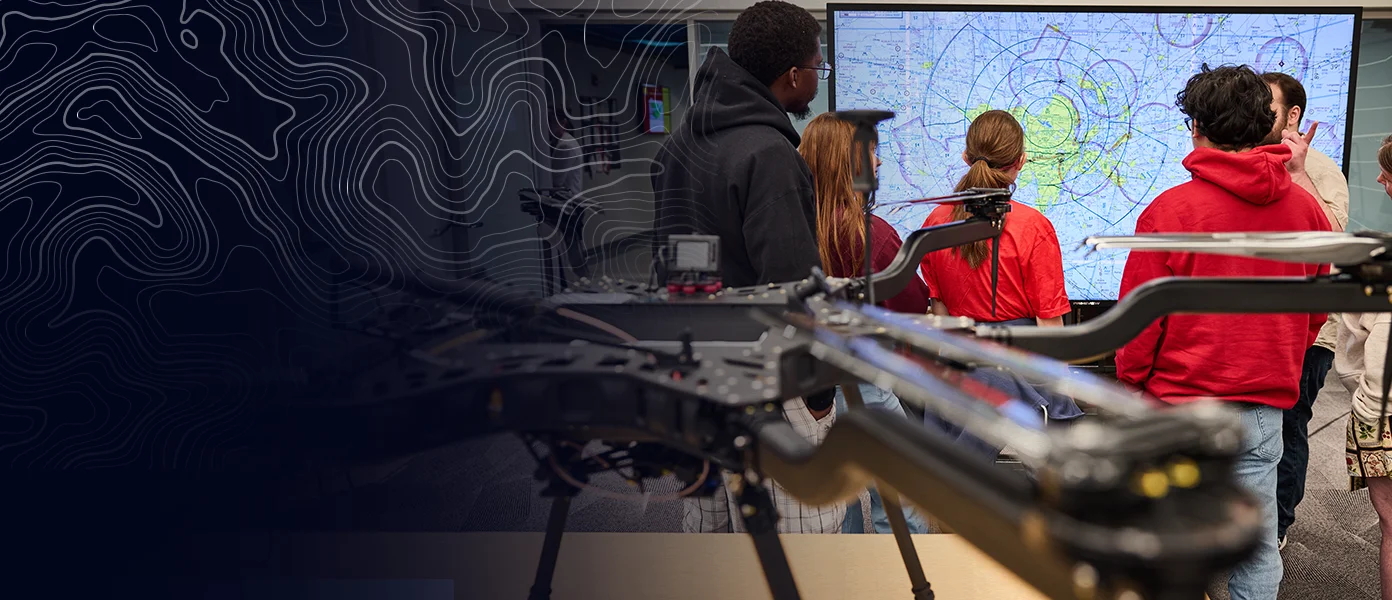
Geospatial Research and Workforce Development at UMSL
We provide geospatial knowledge and skills to an ever-increasing range of students, faculty, and industry partners. We are passionate collaborators researching at the cutting-edge of our fields while developing our community and training the next generation of geospatial scientists.
Our Mission
We connect academia, industry, and government through geospatial education, research, and collaboration that strengthens communities and supports real-world problem solving.
GIS Certificate
Our Undergraduate and High School GIS Certificates helps students gain real-world skills in mapping, spatial analysis, and geospatial technology that are in demand across a wide range of industries and careers.
Undergraduate Certificate Information
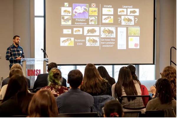 Guest Lectures
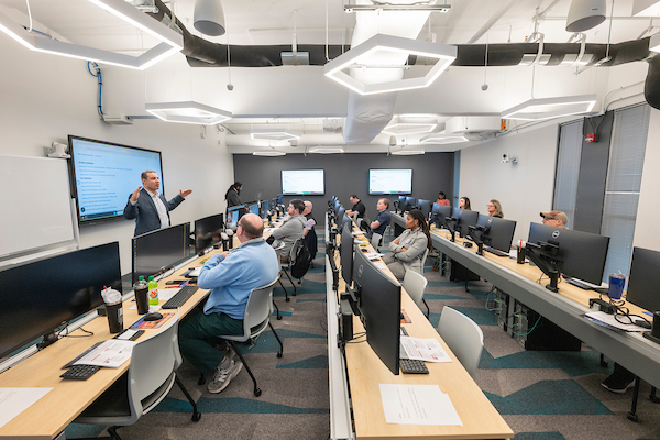
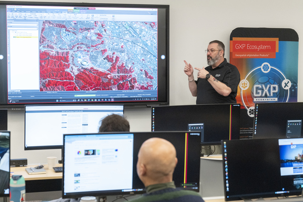 Workshops and Events