UMSL Geospatial Collaborative
Research, innovation and community engagement to inform policy makers.
Contact UsWe provide geospatial knowledge and skills to an ever-increasing range of students, faculty, and industry partners. We are passionate collaborators researching at the cutting-edge of our fields, while developing our community and training the next generation of geospatial scientists.
Undergraduate GIS Certificate
The brand new undergraduate Geographic Information System Certificate program provides students with the knowledge and skills needed to become proficient in the use of GIS software and tools, as well as the ability to analyze and interpret geospatial data. Learn more about the certificate in GIS mapping technology, beginning this fall.
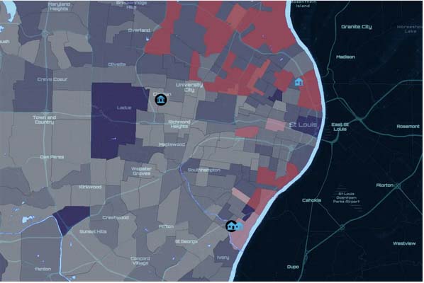
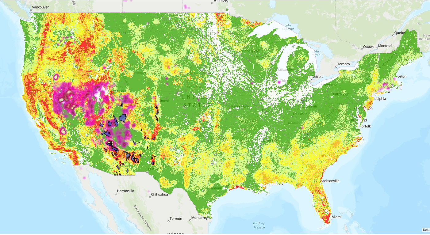
Mapping & Visualization
This is how people understand locations and relationships. Maps and charts bring data to life and provide context, so people can understand information clearly. Maps also provide common ground and understanding across multiple parties and can be a great base on which to start projects from a place of mutual understanding and clarity.
Data Management
With spatial data it is important to use storage models optimized for its unique characteristics. Storage Models include geodatabases, spatiotemporal data stores, and tile caches.
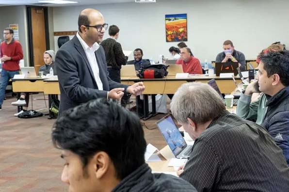
Research Consultations
Our multidisciplinary approach to research has allowed geospatial tools to aid research in computer science, education, political science, biophysics, and many more fields. Our experienced staff will work closely with you to examine how geospatial tools could improve your research.
Curriculum Development
Our staff develop creative and interesting educational solutions for the development of geospatial curriculum, and the incorporation of geospatial tools into existing courses.
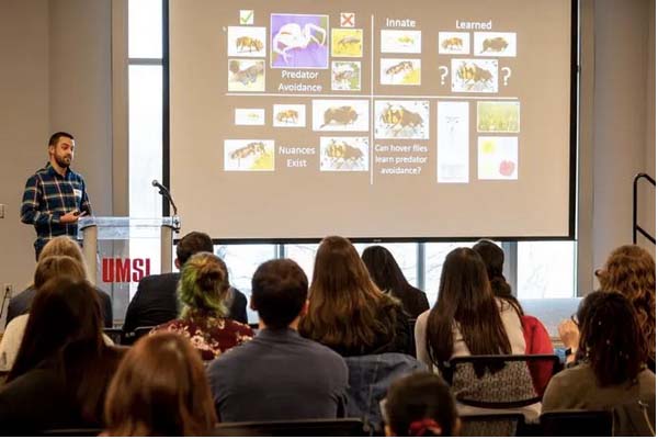
Guest Lectures
With experience applying geospatial technologies to numerous fields and studies, our faculty are the perfect fit for your event.

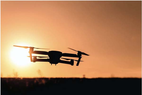
Workshops
We offer workshops and training in geospatial technology, GIS, remote sensing, digital image processing and analysis, and drone technology to the public, private, and government sectors.