Revealing
the West: Lewis & Clark and the Shaping of America
|
|
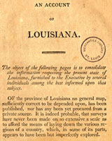
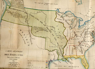 The Louisiana Purchase |
||
 Preparing for the Journey |
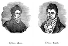
The Lewis & Clark Expedition |
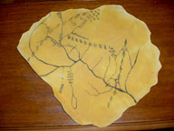
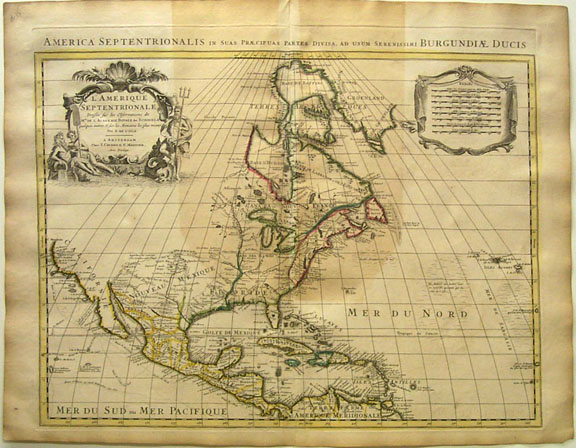
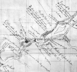 The Maps of Lewis & Clark |
|
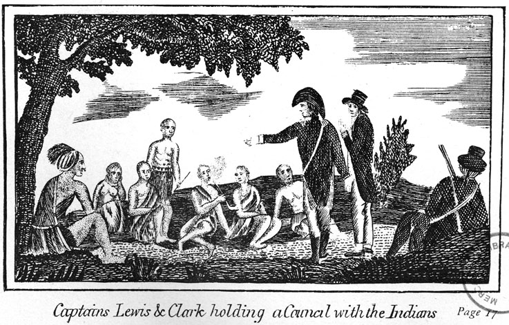
Native American Contributions |
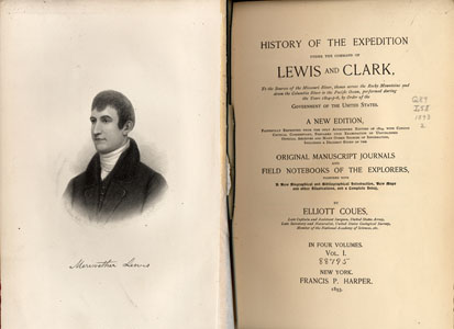 The "Writingest" Explorers |
 Map Activities & Games |
|
Incognita
Lewis & Clark